Japan is protecting its cultural heritage with drone data and 3d modelling. By creating 3D models using DJI Terra, a Japanese city now has access to every detail on the construction of centuries-old buildings and monuments.
Japan’s topography and extreme climatic variations make the country strikingly prone to natural disaster. Earthquakes and tsunamis are common occurrences, as are volcanic eruptions, typhoons, floods, and mudslides. And yet, Japan is thriving. The nation and its people know how to bounce back from disasters.
Historic preservation is at the heart of Japan’s culture of efficacy and resilience. The people move on, but they don’t forget. When rebuilding in the wake of destruction, care is taken to not disrupt the historic fabric of cultural properties. And with Japan linking heritage closely with community development, there’s an emphasis on creating digital twins of historical structures to both memorialize and preserve them.
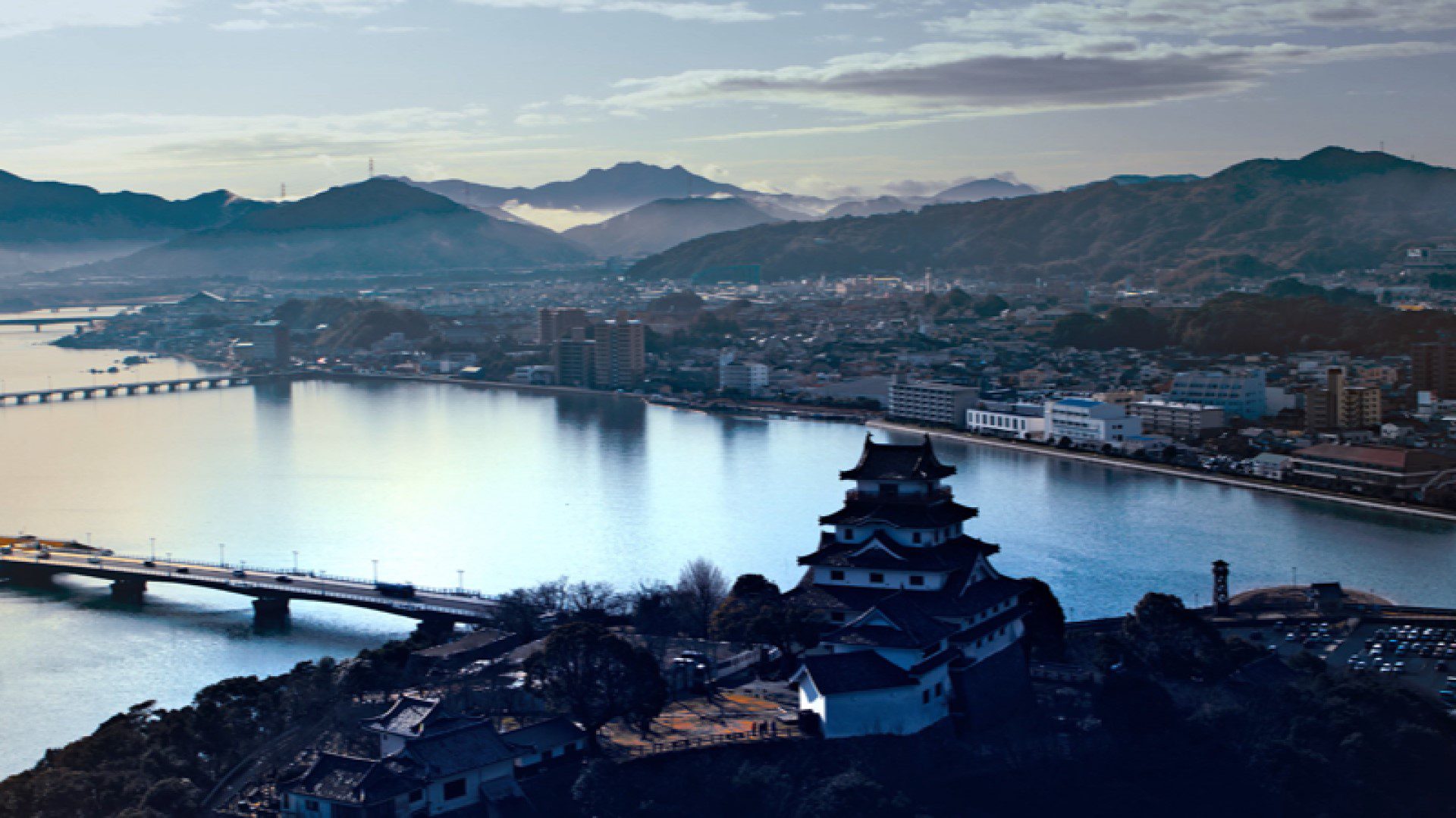
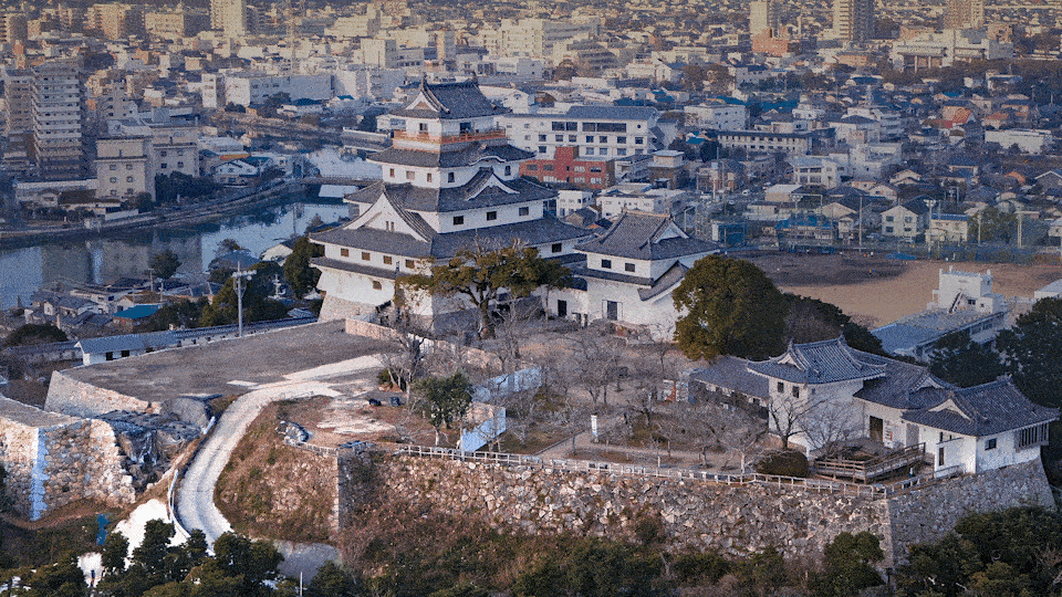
Situated on the top of a small hill above the Karatsu Bay in Saga prefecture of Japan, Karatsu Castle, which is likened to the head of a crane, holds in itself more than 400 years of history and heritage. The castle is unusual in that the stone work rises directly out of the water, using the ocean as a natural moat. However, its stone walls are being damaged due to strain placed by rain and earthquakes.
When planning how best to preserve the castle, Toppen Co. Ltd decided to leverage the latest tools and technologies that would allow the company to take 3D measurements and create a high-resolution, realistic 3D model of the castle.
DJI Terra is the number 1 solution on the market for creating accurate, comprehensive and detailed 2D and 3D graphic reconstructions of buildings, structures and landscapes.
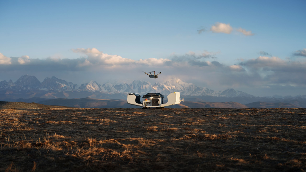
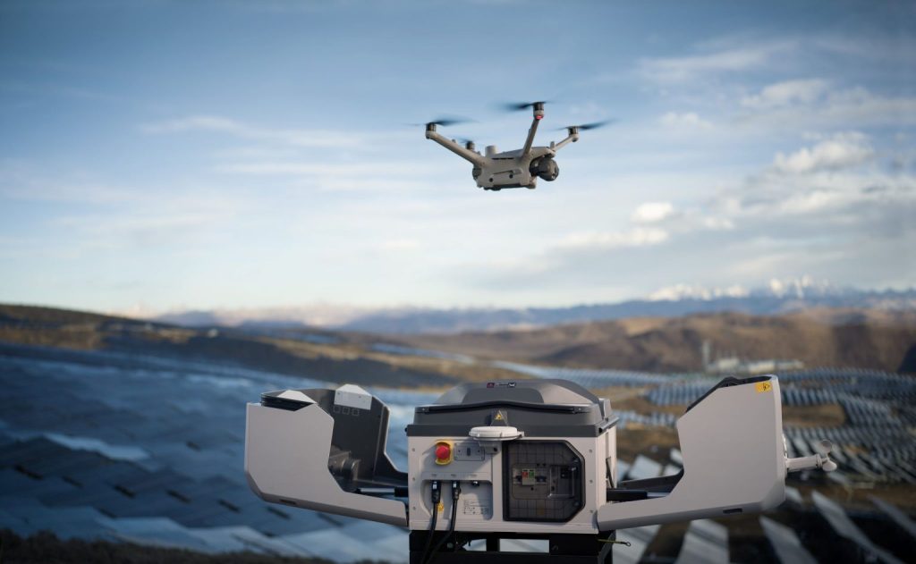
Toppen used a DJI Phantom 4 RTK drone (now discontinued but superseded by Matrice 300 RTK and Zenmuse P1) and DJI Terra to capture image data of the castle and recreate it in digital 3D format. With the most accurate yet affordable low-altitude mapping solutions, DJI provided the perfect tools for the job.
According to Toppen’s Drone Pilot, Yuji Kuwamizu:
“DJI Terra has a surprisingly fast processing speed compared to any other modeling software we have used in the past. With Terra, 3D data can be created immediately onsite, and using this data, our teams can make informed decisions quickly and efficiently.”
Why create 3D digital models of buildings and assets?
1. Using drones can save inspections teams significant time when surveying a site, reducing costs due to the reduced number of personnel required to conduct an inspection.
2. With smart technology such as DJI Terra, using drones to conduct inspections is far more accurate than visual inspections carried out by humans.
3. Creating digital models using drone technology produces a far more tangible inspection result compared with human visual inspections.
4. The ability to view a building or asset from whichever view you need, without being restricted by only being able to view it from the ground, is a significant advantage of using 3D modelling.
5. Using drones almost completely removes human risks associated with climbing, scaffolding or other means of gaining aerial views during inspections.
6. Using digital tools for inspections, in particular 3D graphic reconstruction, is a far more accurate way to identify and assess weaknesses or damage to a building or structure.
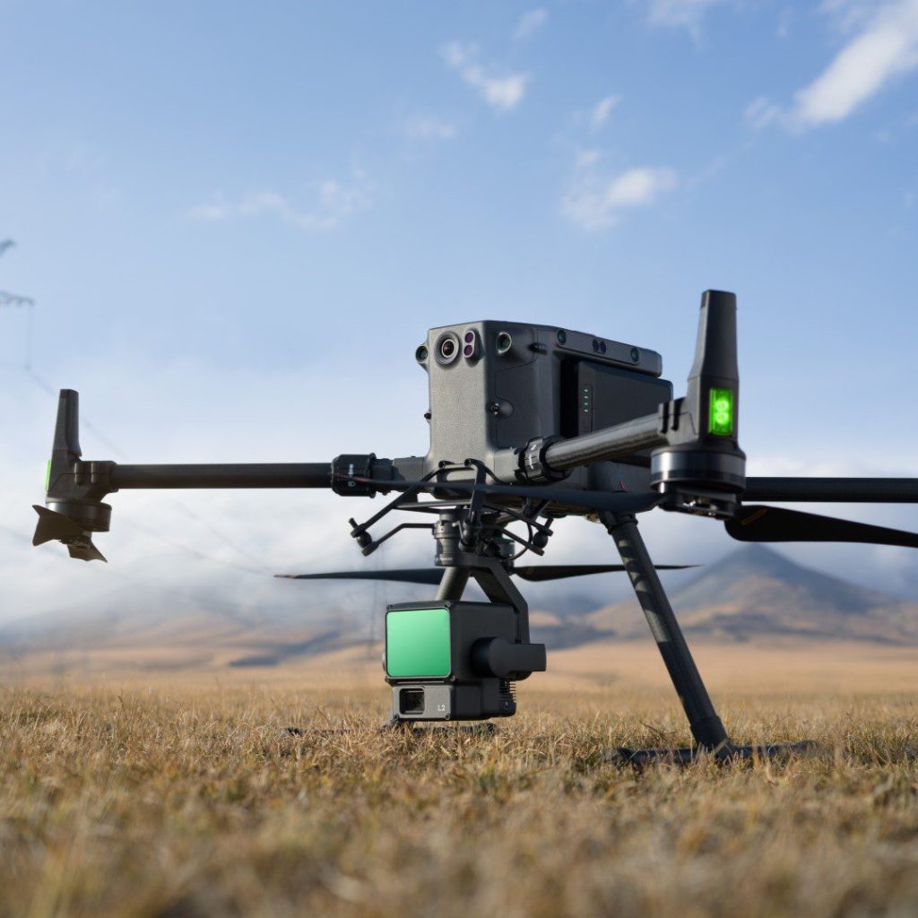
Recommended drone: Matrice 300 RTK with Zenmuse P1 payload

Matrice 300 RTK is an enterprise-grade drone which takes inspiration from modern aviation systems. Offering exceptional flight performance and range, Matrice 300 RTK drones can attach to Zenmuse P1 camera payloads to capture highly accurate and efficient photographic data.
Recommended software: DJI Terra
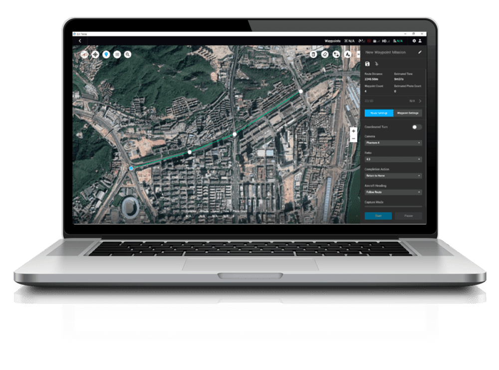
DJI Terra is an easy-to-use mapping software developed to help industry professionals transform real-world scenarios into digital assets. With seamless connection with Zenmuse P1 payloads attached to Matrice 300 RTK drones, DJI Terra is the platform which businesses can use to begin their next-generation of environmental mapping.
If you are interested in DJI Enterprise, get in touch with Andrew Bird on 01489 287 287, at andrew.bird@syndico.net or book a meeting with him at a convenient time.
For more information on the products, go to syndico.net/dji/.