Drones are being used by many businesses to gain vital aerial insight never previously achievable for them.
Surveying their assets, buildings and land can be an important exercise for them but is often a time-consuming activity that either gets put aside or, when it is carried out, eats into profitability.
We spent a day filming with Sarah from Rooftops UAV, who specialise in providing aerial surveys to businesses who do not have the resource to accurately carry out their own.
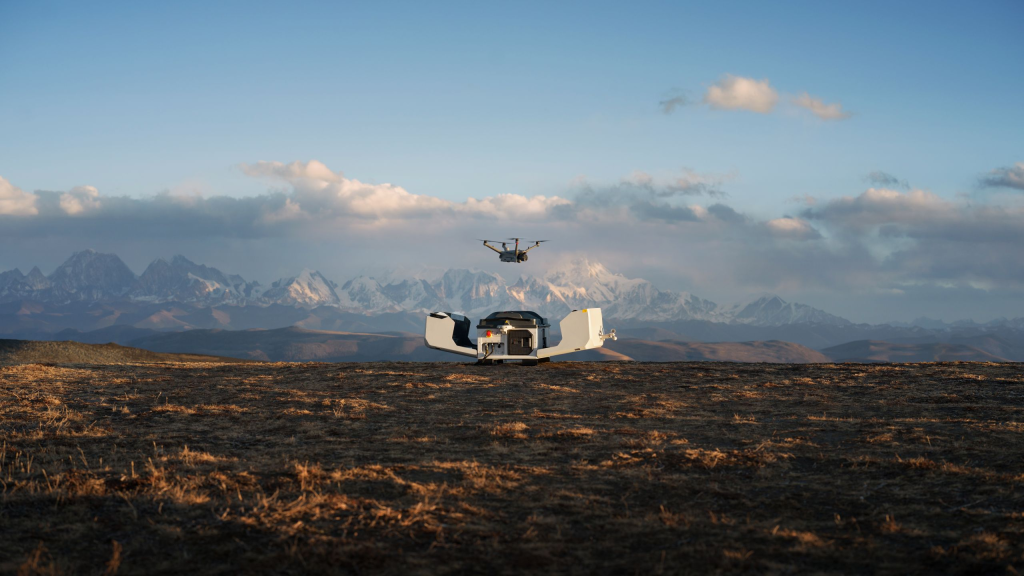
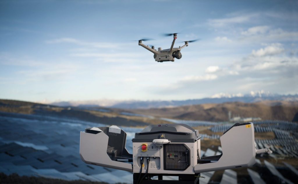
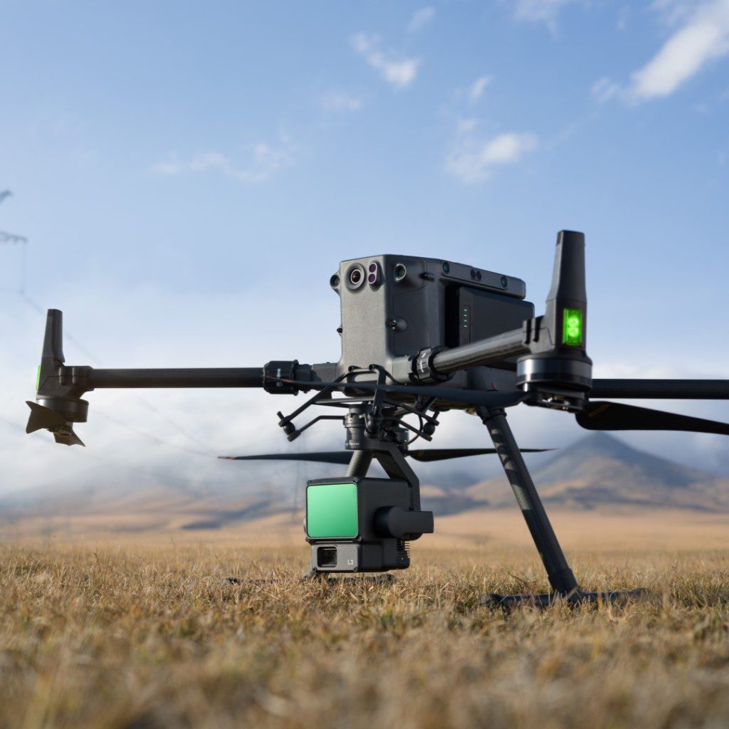
Sarah used a Mavic 2 Enterprise Advanced model because of its integrated thermal camera, which she uses to help clients see their assets, buildings and land in a way which isn’t possible with the naked eye. These models have since been superseded by the Mavic 3 Enterprise Series.
Here are some key messages from Sarah on how she uses her DJI drone for surveying and inspections:

Easy to carry and deploy
“It’s fast and simple to get your drone setup so that you can be in the air in no time.”

Flight performance
“My DJI drone has outstanding flight performance, despite its small form factor!”

Thermal split-view
“Compare a normal image vs. a thermal image to see things invisible to the naked eye, like identifying a faulty solar panel or a gas leak.”

Data, data, data!
“Via the drone’s controller, you have the power of data right in front of you to present to your customers or teammates.”
Could you help your customers with aerial surveying?
If you’d like to learn more about how you can get started with DJI, speak to Andrew Bird today on 07967 169 083 or email andrew.bird@syndico.net.
For our full DJI Enterprise product portfolio, please visit syndico.net/dji.